

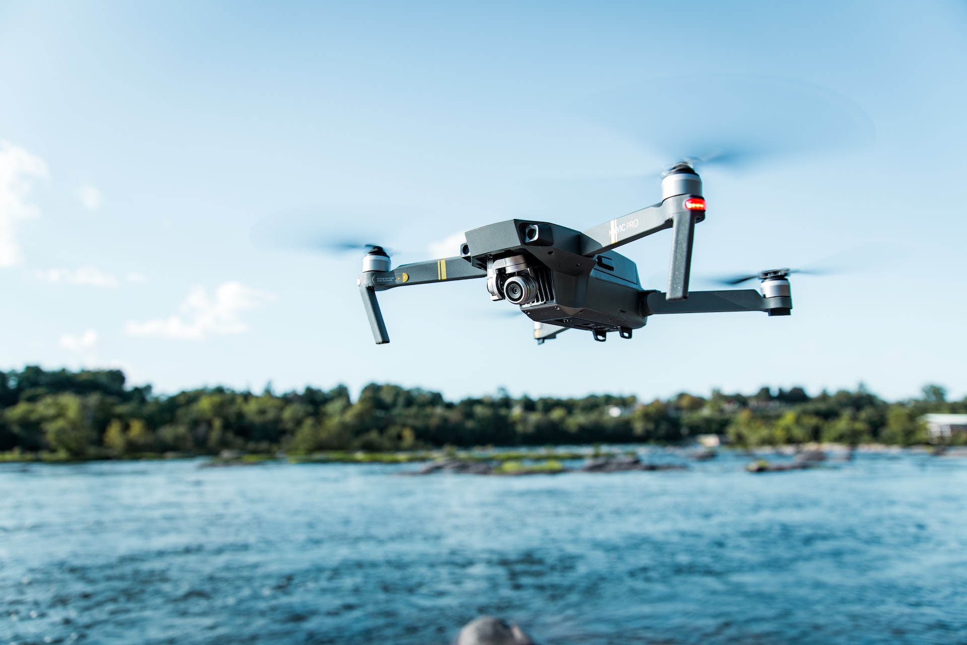
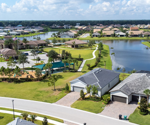
SURVEYING & MAPPING
Aerial surveying & mapping with drone images & photogrammetry with 2D and 3D models deliverables.
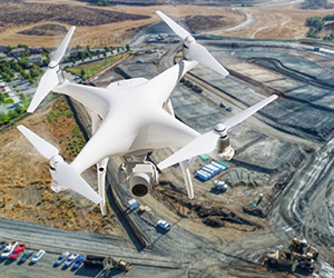
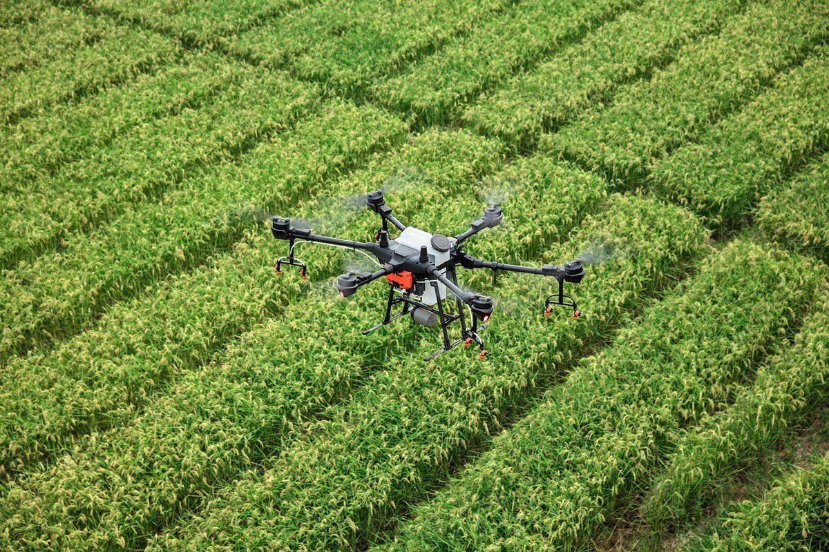
MINING INSPECTION
Application in the area includes but not limited to mapping deposit, surveying mines, tracking equipment, and exploring minerals
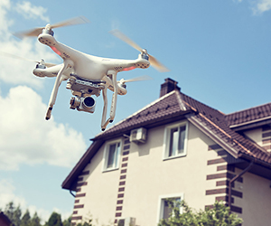
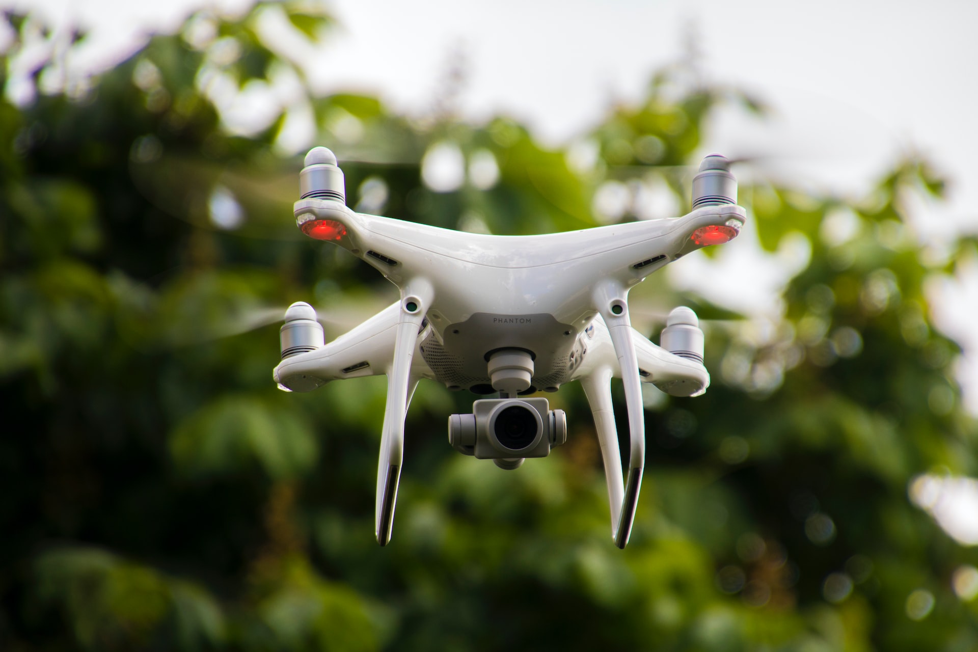
STRUCTURE INSPECTION
We offer drone inspection services which we perform to discover visible defects in large structures and equipment.
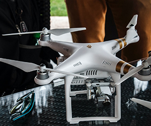
Education & Training
Customized learning, self-paced and instructor-led, towards drone pilot and drone Analyst Certifications. We employ hands-on trainings and workshops to keep our clients up-to-date on the technology.